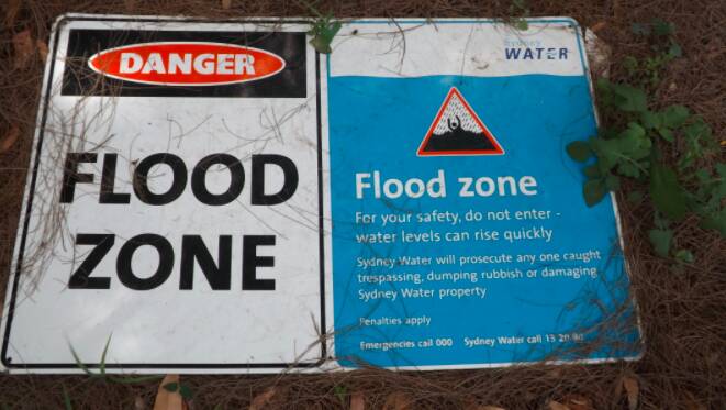
Bayside Council wants to hear from residents about flood prone hotspots in the local government area.
The March 9 meeting of the council's City Works and Assets Committee recommended the council provide a "Have Your Say' page on the council website to allow residents to upload photos of regular flood prone areas.
The committee also recommended that the council provides a list of all known flooding hotspots across the LGA, including any new areas that may have been impacted recently; and provides a list of the top-10 flooding hotspots and plans for long-term mitigation of those areas, including funding options.
Following this, the council has created a Flood Hotspot Interactive Mapping Tool allowing residents to pinpoint the location of a flood, upload a photo and add any additional information.
The council will review the information and compare it with the current data outlined in its flood management studies and plans.
These plans outline flood mitigation measures to reduce the risk of future flooding.
The NSW Government requires councils to manage flooding issues and put plans in place to safeguard flood prone areas.
The Bayside Council area has eight main catchments, and two minor catchments.
- Bardwell Creek and Wolli Creek Catchment: Turrella, Bardwell Valley and Bardwell Park, Bexley North, Kingsgrove
- Birds Gully and Bunnerong Road Catchment: Daceyville, Eastgardens, Hillsdale
- Bonnie Doon Catchment: Arncliffe, Wolli Creek, Bonar Street
- Botany Bay and Foreshore Beach Catchment: Botany and Port Botany
- Mascot, Rosebery and Eastlakes Catchment: Mascot, Rosebery and Eastlakes. The study also includes the Botany Wetlands catchment.
- Sans Souci Catchment: Ramsgate, San Souci, Monterey, Kogarah (part)
- Spring Street, Muddy Creek and Scarborough Ponds Catchments: Banksia, Rockdale, Carlton, Bexley, Kogarah (part), Brighton Le Sands, Kyeemagh
- Springvale drain and Floodvale drain Catchment: Banksmeadow and Pagewood (part)
Minor catchments with minimal housing
- Botany Bay Catchment: Coastal strip impacted by storm surges and ocean dominant flooding.
- Botany Wetlands Catchment: Flood modelling has been completed for the Mascot, Rosebery and Eastlakes Catchments.
To access the interactive map go to: https://haveyoursay.bayside.nsw.gov.au/floodpronehotspots2022

